Delhi Records Second Consecutive Heatwave Day Before Evening Thunderstorm Brings Relief
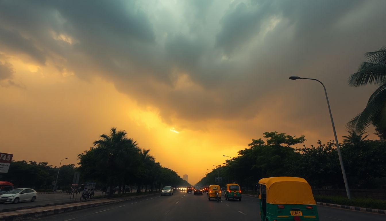
The India Meteorological Department (IMD) reported that Delhi reeled under heatwave conditions for the second consecutive day on Monday, with temperatures reaching 42.2 degrees Celsius at the Safdarjung base station. The intense heat was followed by an evening thunderstorm that brought strong winds and caused temperatures to dip across the capital, including areas around Palam, Lodhi Road, and the Ridge.
According to the IMD, the maximum temperature of 42.2 degrees Celsius recorded at the Safdarjung base station on Monday was five degrees above the normal average. This was a slight increase from Sunday, when the station recorded a maximum temperature of 41.8 degrees Celsius. With Monday's reading, Safdarjung has now witnessed four heatwave days during the current season, while other monitoring stations in Delhi have recorded even higher numbers.
Other weather stations across the city also registered high temperatures on Monday. The Ridge station recorded a maximum of 43.4 degrees Celsius, while Palam reached 42.4 degrees Celsius and Lodhi Road touched 42.1 degrees Celsius.
The heat felt even more intense due to high heat index levels, which measure the "feels-like" temperature. At 8:30 a.m. on Monday, when the actual air temperature stood at 34.8 degrees Celsius, the feels-like temperature was already at 40.6 degrees Celsius. This followed a weekend of extreme heat index readings, which reached 51.3 degrees Celsius at 2:30 p.m. on Saturday and 50.7 degrees Celsius at 5:30 p.m. on Sunday.
The heatwave conditions began to ease on Monday evening as a thunderstorm hit the region. The IMD reported that the storm brought wind speeds of up to 52 kmph, which were recorded at the Palam station at 5:00 p.m.
Meteorologists have predicted that the heatwave is likely to abate on Tuesday. The IMD attributed this expected cooling to the ongoing thunderstorm activity currently affecting both Delhi and Haryana.