MPD 2047 Proposes High-Density Corridor Along 75-km UER-II Connecting Dwarka
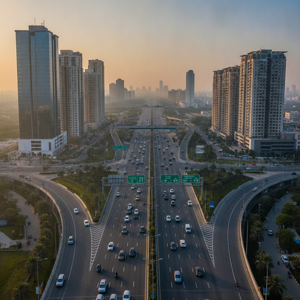
Under the Master Plan of Delhi (MPD) 2047, authorities have introduced a new High Density Corridor (HDC) policy to facilitate compact, high-density, and mixed-use development along the 75-kilometre Urban Extension Road-II (UER-II), which connects Dwarka, Najafgarh, Rohini, Mundka, and Narela.
The framework is part of two planning mechanisms introduced under MPD 2047—the High Density Corridor and the Low Density Area (LDA)—intended to curb unplanned expansion and speed up the planned development of residential, commercial, and logistics infrastructure. By linking major peripheral zones, the UER-II route effectively forms an outer ring around Delhi.
According to the policy specifications, the high-density corridor will extend up to 250 metres on either side of UER-II. However, this designation applies provided that a secondary service road is available along the executed stretch of the highway.
The Delhi Development Authority (DDA) is tasked with preparing the road network plan for the corridor. Private landowners and commercial developers will be allowed to participate in development projects along the stretch, subject to prescribed regulatory conditions.
To be eligible under the HDC policy, a plot must possess a minimum built-up area of 4,000 square metres. In order to create a plot meeting this threshold, landowners must surrender 50 percent of their original land parcel, which must be at least 8,000 square metres in size, dedicated toward public facilities.
The policy permits a wide range of activities on eligible plots across the corridor. Allowed developments include residential housing, commercial spaces, public and semi-public infrastructure, as well as warehousing and logistics facilities.