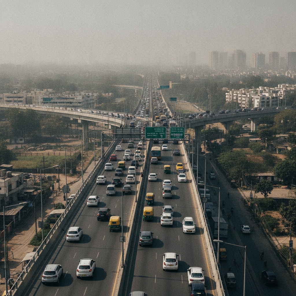
Rain Hits Parts of Delhi as Chhatarpur Records 35.5 mm and Temperatures Drop
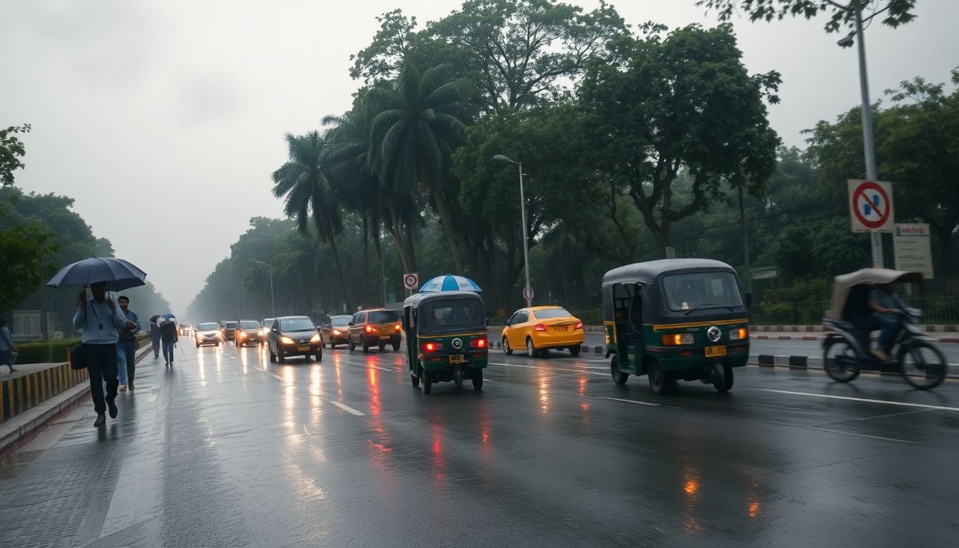
Parts of Delhi received very light to moderate showers as the India Meteorological Department issued a yellow alert across the national capital, forecasting similar conditions alongside isolated heavy spells in select areas.
Rainfall distribution varied significantly across localities between 8:30 am and 5:30 pm. Chhatarpur recorded the highest precipitation at 35.5 mm, followed by Palam with 31 mm. Ayanagar registered 3.9 mm of rain and Lodhi Road logged 0.8 mm, while the base weather station at Safdarjung recorded no rainfall during the same period.
The localized precipitation had an immediate cooling effect across the city. The maximum temperature dropped to 31.3 degrees Celsius, settling three notches below normal and marking a sharp decline from 36 degrees Celsius recorded a day earlier. Conversely, the minimum temperature settled at 28 degrees Celsius, which stood two notches above normal compared to 27.8 degrees Celsius the previous day.
Beyond lowering day temperatures, the showers contributed to a notable improvement in Delhi's atmospheric conditions. The city's Air Quality Index improved into the "satisfactory" category, registering a reading of 85 after having stood at a "moderate" level of 113 a day earlier.
Weather experts indicated that Delhi could experience additional rainfall in the coming days ahead of the normal monsoon withdrawal around September 25. Rainfall in September 2024 has reached 192.5 mm, surpassing the 137 mm recorded during the same month last year.
Mahesh Palawat, vice chairperson of Skymet, explained the atmospheric dynamics behind the wet spell. He stated that due to a change in the winds, the moisture load had increased and the line of the trough had shifted westward, leading to increased rain activity across the region that is expected to continue for the next few days.
The India Meteorological Department stated that a western disturbance, acting as a trough in middle tropospheric westerlies with its axis at 5.8 km above mean sea level, persisted roughly along longitude 70 degrees East to the north of latitude 30 degrees North.
The weather department anticipates light to moderate rain on Thursday and Friday, with maximum temperatures likely hovering between 32 to 34 degrees Celsius and 32 to 33 degrees Celsius respectively, forecasting no significant variation in maximum temperatures over the next seven days.