Delhi Master Plan 2047 Splits Yamuna Floodplain into Two Zones for Recreational Use
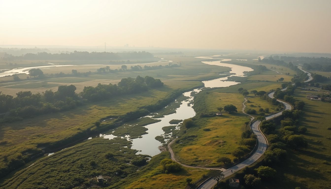
The Delhi Development Authority has divided the Yamuna floodplain into two distinct planning zones under the Master Plan for Delhi-2047, permitting regulated recreational activities in designated buffer areas. The decision marks a shift from previous urban planning frameworks that treated the entire floodplain along the stretch from Wazirabad to Okhla as a single protected zone with blanket restrictions on development.
Under the updated framework, the former O-Zone covering the Yamuna and its surrounding floodplain has been split into O-1 and O-2 categories. The O-1 zone, which encompasses the core 1-in-25-year floodplain, retains strict environmental protections with no permanent construction or development allowed. In contrast, the adjacent O-2 buffer zone will accommodate regulated recreational uses, including public parks and green spaces, subject to official oversight.
The new classification departs from the draft Master Plan for Delhi-2041, which had proposed protecting the floodplain as a single unit with a blanket ban on permanent construction and an intended 300-metre-wide green buffer. The previous draft emphasized public access through 75-to-100-metre-wide greenways featuring walking and cycling trails. Under the new plan, officials stated that the outer buffer zone will no longer be bound by the same blanket restrictions.
The policy change has drawn sharp criticism from environmental advocates. Bhim Singh Rawat, coordinator of the South Asia Network on Dams, Rivers and People (SANDRP), accused the DDA of weakening river protection laws and failing to complete scientific demarcation in ongoing National Green Tribunal (NGT) proceedings. Rawat argued that a 1-in-100-year flood level should serve as the baseline rather than a 25-year flood period, citing recent flood events that demonstrated reduced carrying capacity in the river. He urged the Ministry of Housing and Urban Affairs to reject the proposal and set up an independent expert body to manage the floodplains.
Defending the division, a senior DDA official stated that the plan does not permit unrestricted construction but seeks to identify areas where regulated activities can take place without compromising ecological or flood-management functions. The official noted that the initiative aims to increase public connection with the river. The master plan also outlines measures for restoring wetlands through de-silting, converting natural depressions into storage basins, and enforcing strict regulations on garbage disposal, fertilizer use, and religious gatherings.
Ground-level demarcation of the Yamuna floodplain remains underway under directions from the NGT. Following court orders to prevent fresh encroachments, civic agencies installed more than 300 notice boards and demarcation signs in mid-2026 along the 22-kilometre stretch from Wazirabad to Okhla. The DDA has previously created several ecological restoration projects along the riverbank, including Baansera, Asita, and Vasudev Ghat.