DDA Master Plan 2047 Proposes 200-Km Ridge-Yamuna Park Connector
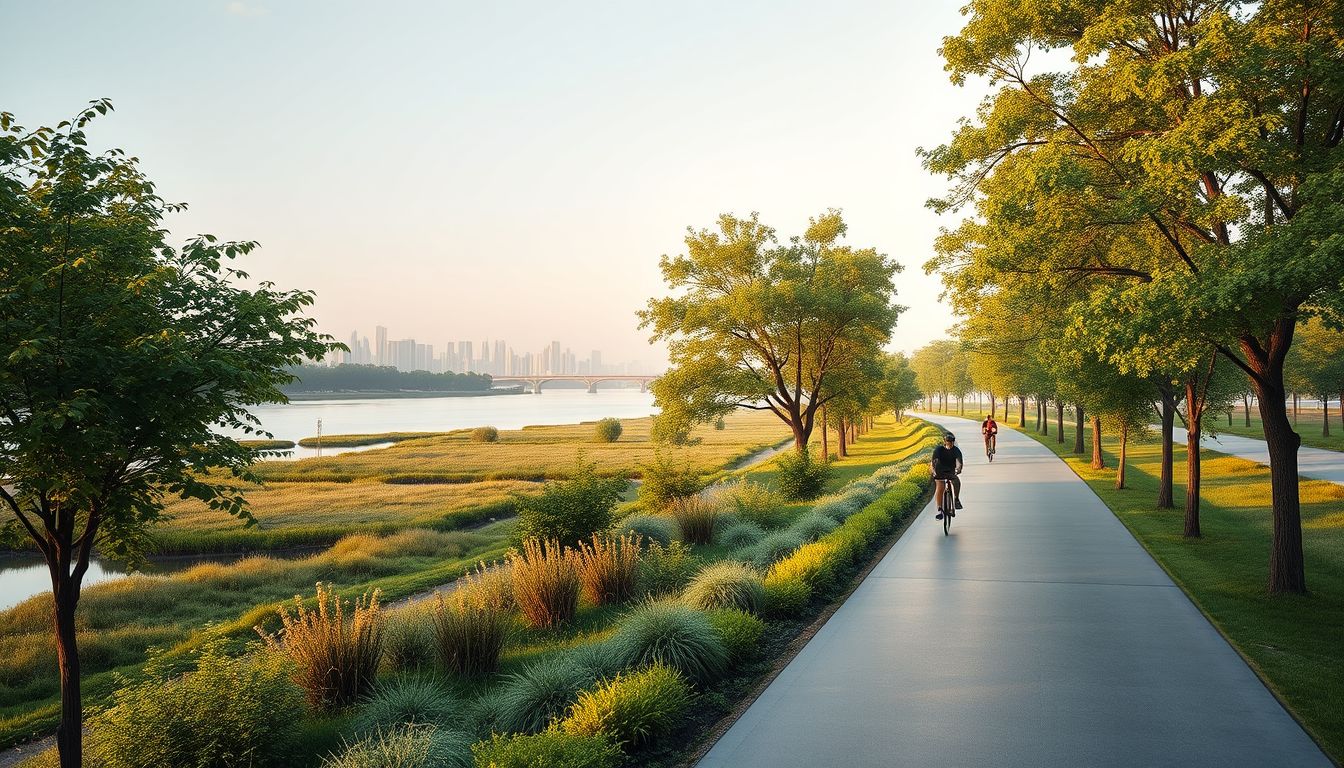
The proposed Master Plan for Delhi-2047 outlines a 200-kilometre-long Ridge-Yamuna Park Connector designed to link the city’s Ridge areas with the Yamuna riverfront and its floodplains between Wazirabad and Okhla barrages. Approved by the Delhi Development Authority on August 12, the plan aims to establish an integrated network of green and recreational spaces while promoting walking and cycling along the river.
The connector forms part of a broader package of ecological restoration measures for the Yamuna. According to the master plan, the framework includes a 52-kilometre cycling network along the floodplain to reinforce what it terms the "Ridge-Yamuna continuum." The plan also proposes developing public greenways measuring 75 to 100 metres in width along river embankments wherever feasible, incorporating walking and cycling trails alongside spaces for passive recreation.
Under the framework, 13 major restoration projects covering roughly 1,700 hectares of the floodplain will focus on restoring wetlands, natural depressions, and biodiversity across the 22-kilometre river stretch. These initiatives include biodiversity parks currently being developed by the authority, such as Asita, Yamuna Vatika, Kalindi Biodiversity Park, Amrut Biodiversity Park, and Mayur Biodiversity Park.
The plan recommends de-silting existing wetlands and deepening natural depressions into storage basins to expand floodwater retention capacity and aid groundwater recharge. Floodplain forests, grasslands, and a green buffer of native riverine vegetation are also planned along the river's edge to protect the riverbank.
The focus on non-motorised transit comes as the authority separately pursues a phased cycling corridor along the Yamuna, with an initial stretch planned between the Old Railway Bridge and National Highway-24. Environmental experts have noted that recreational development must remain compatible with natural flood storage. Yamuna activist Diwan Singh cautioned that tracks or construction in sensitive zones could disturb river slopes and hydrology, emphasising that floodplain interventions must rely on flood-resilient native vegetation and avoid impermeable surfaces.