CAQM Asks ISRO to Classify Stubble Fire Intensity for Better Delhi Air Data
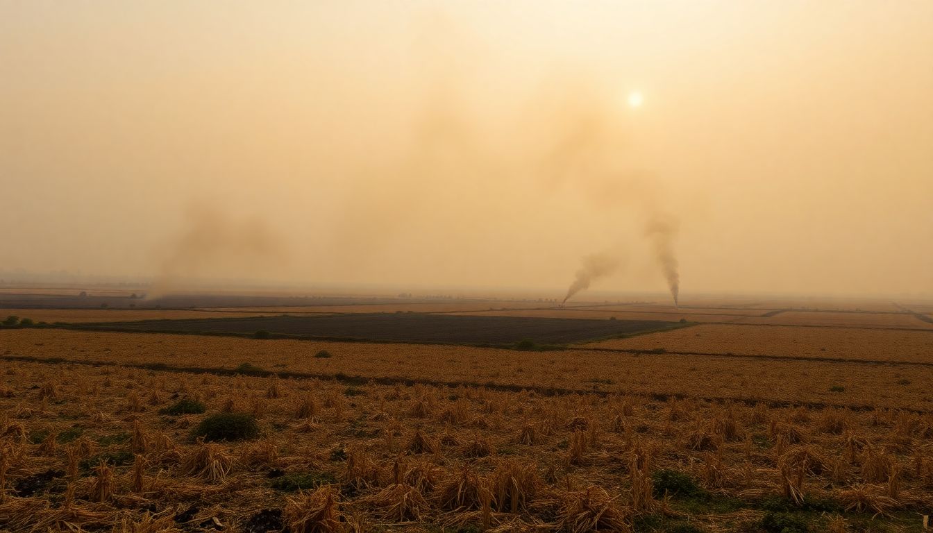
Ahead of the upcoming winter pollution season in New Delhi and the National Capital Region, the Commission for Air Quality Management has asked the Indian Space Research Organisation to refine its models by differentiating between high, medium, and low-intensity stubble fires. The panel wants changes in methodology to improve the accuracy of burnt area assessments and enable precise emission tracking across Delhi-NCR and adjoining states.
Discussions between the commission and ISRO have been underway since the conclusion of the previous winter. A senior commission official explained that current satellite systems and analytical models cannot distinguish between a large farm fire and a minor localised blaze, making it difficult to calculate the exact volume of emissions released into the atmosphere.
The official compared the variation to vehicular pollution, noting that just as emissions differ sharply across BS-3, BS-4, and BS-6 vehicles, emissions from agricultural fires vary significantly depending on their intensity. Knowing the exact intensity will allow authorities to calculate emissions from crop residue burning with greater precision.
The existing standard protocol for estimating crop residue burning events was established by ISRO in August 2021 in consultation with state remote sensing centres and the Indian Agricultural Research Institute. Under this system, the institute's CREAMS laboratory publishes daily fire counts for Delhi, Punjab, Haryana, Uttar Pradesh, Rajasthan, and Madhya Pradesh. Stubble burning typically begins around September 15 and continues through November 30.
However, existing fire count data has faced scrutiny because India's polar-orbiting satellites pass over fields between 10:30 am and 1:30 pm. Several studies noted that farmers frequently set fires later in the evening to avoid satellite detection.
To address this blind spot, the commission has mandated the deployment of drones between 3:00 pm and 9:00 pm for the upcoming season, issuing a standard operating procedure at the end of July. Punjab, Haryana, Uttar Pradesh, and Rajasthan have been directed to deploy drones at known hotspots and store all recorded video footage in a central database for at least three months after the harvest.
Commission officials stated that real-time drone surveillance will also serve to verify satellite calculations of burnt areas, which currently lack precision. During the previous winter, Punjab recorded 5,114 farm fires, down from 10,909 the preceding year, while Haryana reported 662 fires compared to 1,406 previously.